Restoring more natural function (hydrological, chemical, physical and biological) to the freshwater habitat resource, through the removal or reduction of human pressures, is a fundamental requirement for nature recovery. The potential to do this varies across England and within individual landscapes/catchments. Mapping the best locations to restore more natural function helps ensure that we actively target available resources and mechanisms at those places.
The most important places to identify are where freshwater habitats can be restored as part of wider naturally functioning
mosaics of aquatic, wetland and terrestrial habitats – these are often at the head of hydrological pathways in headwater catchments, where human pressures (pollution, abstraction, drainage) can generally be removed more easily without consequences for neighbouring land uses. However, some elements of natural function can be restored in most circumstances, in the fringes of heavily developed floodplains and in urban areas where practical constraints are typically greatest.
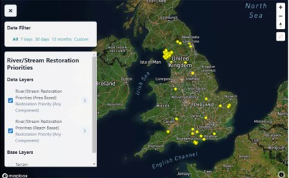
The Data Portal includes a facility for adding locations to evolving maps of river/stream and lake restoration priorities. Any site that falls under the UK river and lake priority habitat definitions (which in practical terms means any river, stream or lake) can be highlighted as a priority for restoration action, as long as the envisaged action restores more natural function. The guidance on the Data Portal provides more explanation on what counts, where to look and how to add priorities to the maps. You can see how the maps of restoration priorities are developing by accessing the Display Data facility. The maps are being fed into emerging processes for developing the Nature Recovery Network and Local Nature Recovery Strategies.