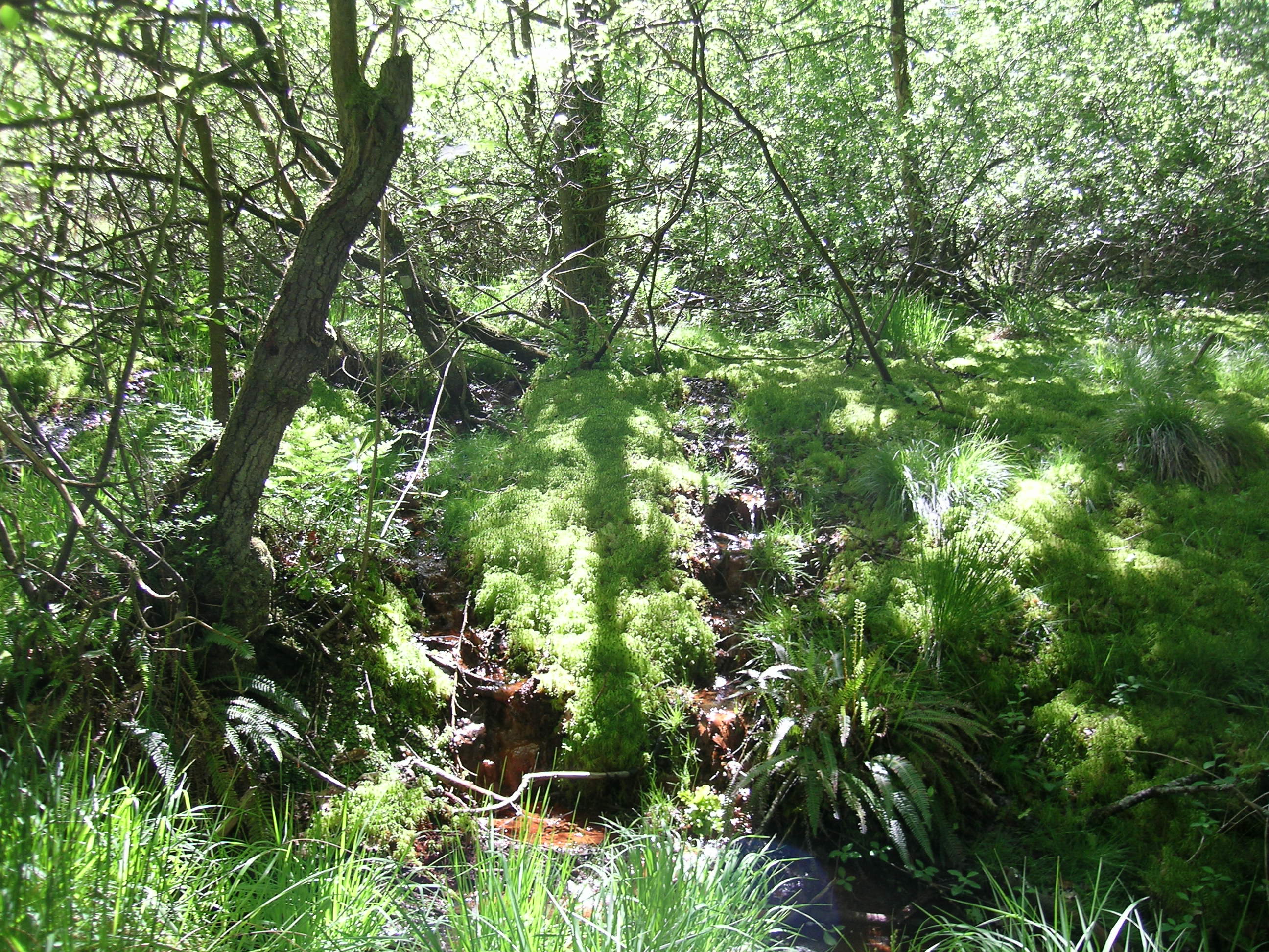
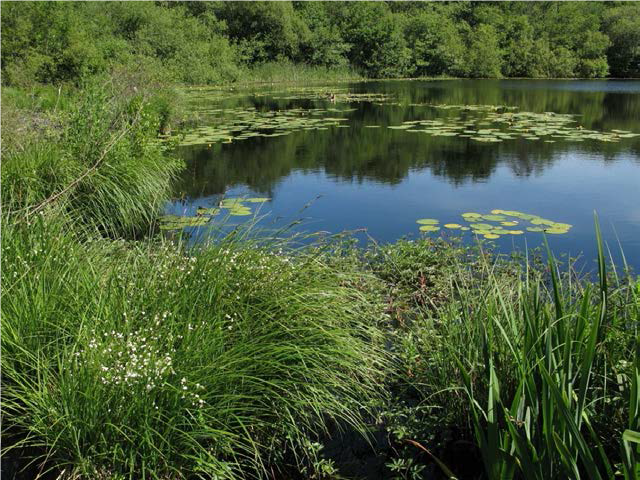
Naturally functioning freshwater and wetland habitat mosaics are of critical importance to all of our water-dependent species, providing an environment in which all of our native species, including rarities, are catered for in dynamic balance. Such systems also help retain water in catchments, releasing it slowly through pathways that store carbon and provide clean water in ways that help restore downstream biodiversity, assist with climate change, increase the resilience of water resources and improve with flood risk management.
Whilst our freshwater and wetland habitat resource in England has been greatly damaged by a wide range of pressures over many years, some very natural places still exist and there are plenty of opportunities even now to restore lost natural freshwater and wetland function in landscapes. Many of our best remaining examples are found in headwater catchments that have escaped development, and many of these are not properly recorded or therefore protected.
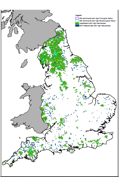
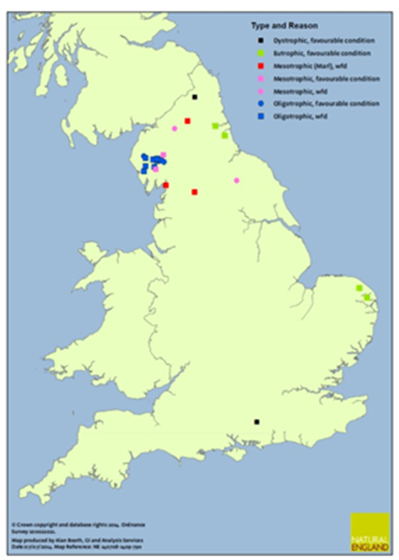
The priority habitat maps for rivers and lakes in England seek to identify the most naturally functioning remaining examples, which are best able to support our full characteristic flora and fauna in natural habitat mosaics. These maps provide recognition for these sites, which helps to protect them against future damage. The sites on the map also help demonstrate the importance of natural ecosystem function in terms of biodiversity and wider natural capital benefits, providing a yardstick for our restoration ambitions in the wider habitat resource.
The maps are currently based on nationally available data, which mainly relate to larger rivers and lakes that are monitored for Water Framework Directive purposes. Considerable work is needed to build a more complete and accurate picture of highly natural sites in England. You can help with this by providing naturalness assessments of sites you know – go to Contribute Data.
Reports on the generation of the maps are available on the Document Store here. You can download the current versions of these maps as digital GIS layers on Natural England’s open data portal: rivers/streams and lakes.