Freshwater Naturalness in England
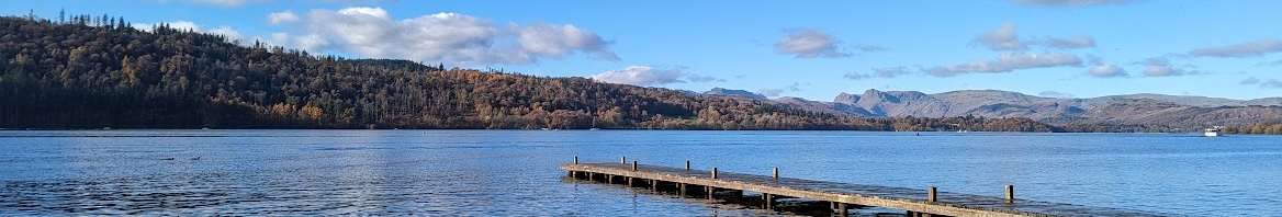
Rivers, streams, and lakes are freshwater ecosystems that provide dynamic habitat mosaics for rare and threatened species. The UK has some of the most nature-depleted waterways in Europe, and centuries of artificial modification have greatly damaged the natural function of our freshwater ecosystems. Without naturally functioning habitats, many important niches are lost and the resilience of our freshwater ecosystems is damaged. Discovering Priority Habitats aims to assess the natural health of smaller waterbodies that are missed by statutory monitoring methods. Citizen scientists are trained to conduct ‘naturalness assessments’ and upload data to open-source maps hosted on Cartographer. These will be used by Natural England to periodically update the priority habitat maps in England. Refining priority habitat locations is vital in ensuring we protect natural freshwater sites in current ‘good’ health and encourage restoration action in desirable locations.
The Naturalness Assessment
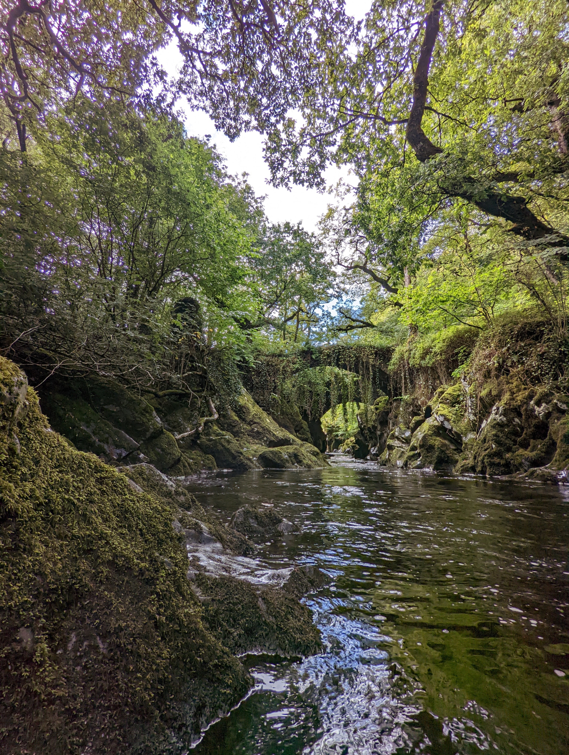
The Freshwater Biological Association delivers training days to external organisations interested in monitoring freshwater naturalness. Citizen scientists are given guidance on how to conduct naturalness assessments. This broadly covers how to best choose survey sites, feature identification, and how to upload data to the Priority Habitats website. The survey uses four categories to assess naturalness: Physical; Hydrological; Chemical; and Biological. Rivers/streams and Lakes are evaluated using specific survey variations to accurately capture their unique features. Each category is given a score of naturalness alongside a confidence assessment as to whether this score accurately represents the feature.
How to complete a naturalness survey
To get involved with this project and contribute data, you will need to complete a naturalness survey on your chosen site, be it a lake, river or stream. We have created guidance documents and annexes that will help you to do this, as well as printable versions of the forms that you will eventually fill in online.
We suggest you read the documents below before starting your survey, as they provide tips on how to fill out the forms, and how best to capture data about your site. Documents are available in PDF format.
Site selection is very flexible, but please bear in mind that our particular knowledge gaps relate to smaller waterbodies that aren’t currently assessed by statutory monitoring methods. You don’t have to be an expert – the assessment is designed to be used by anyone.
Surveys are completed at the individual’s own risk and volunteers are reminded to always read the Health and Safety documents before attending a site. Being near any body of water is potentially dangerous and every effort must be made to minimise risks in the field by observing these guidelines. Make sure to never survey alone and follow a check-in procedure so that someone knows where you are going and how long for.
Resources:
For RIVERS and STREAMS: | River and stream naturalness assessment – guidance document | Annex I – Printable river naturalness survey form to use in field | Annex II – Examples of classifying stream naturalness | Annex III – Photo-library of key habitat features | Annex IV – List of species of high priority for recording |
For LAKES: | Lake naturalness assessment – guidance document | Annex I – Printable lake naturalness survey form to use in field| Annex II – Physical naturalness photographs | Annex III – Hydrological naturalness photographs| Annex IV – Chemical naturalness photographs | Annex V – Plant functional group photographs | Annex VI – Further species recording |
Access further resources in our document store. Here you can find further training day resources and ‘how-to’ guides.
What we will do with your data
Naturalness data will be used by Natural England and the NCEA to update the official priority river/stream and lake habitat maps. To see what being on the priority habitat map means click here. Information on sites not currently in a state to be added to the priority habitat map will be used to inform restoration priorities. If a site is restored to a sufficient level of naturalness it can then be added to the relevant priority habitat map.
How to add information
We use an online data portal to collect, organise, and map naturalness data. Our team are able to give you access to the ‘River and Lake Naturalness’ workspace upon request. If you have already been granted access to the workspace, click below to sign in.
If you would like to gain access to the workspace and input your data, simply fill in the form below and we’ll contact you by email to get you set up. This is a manual process and may take some time depending on staff workload. If you think your request has been missed, please contact priorityhabitats@fba.org.uk rather than completing another form.