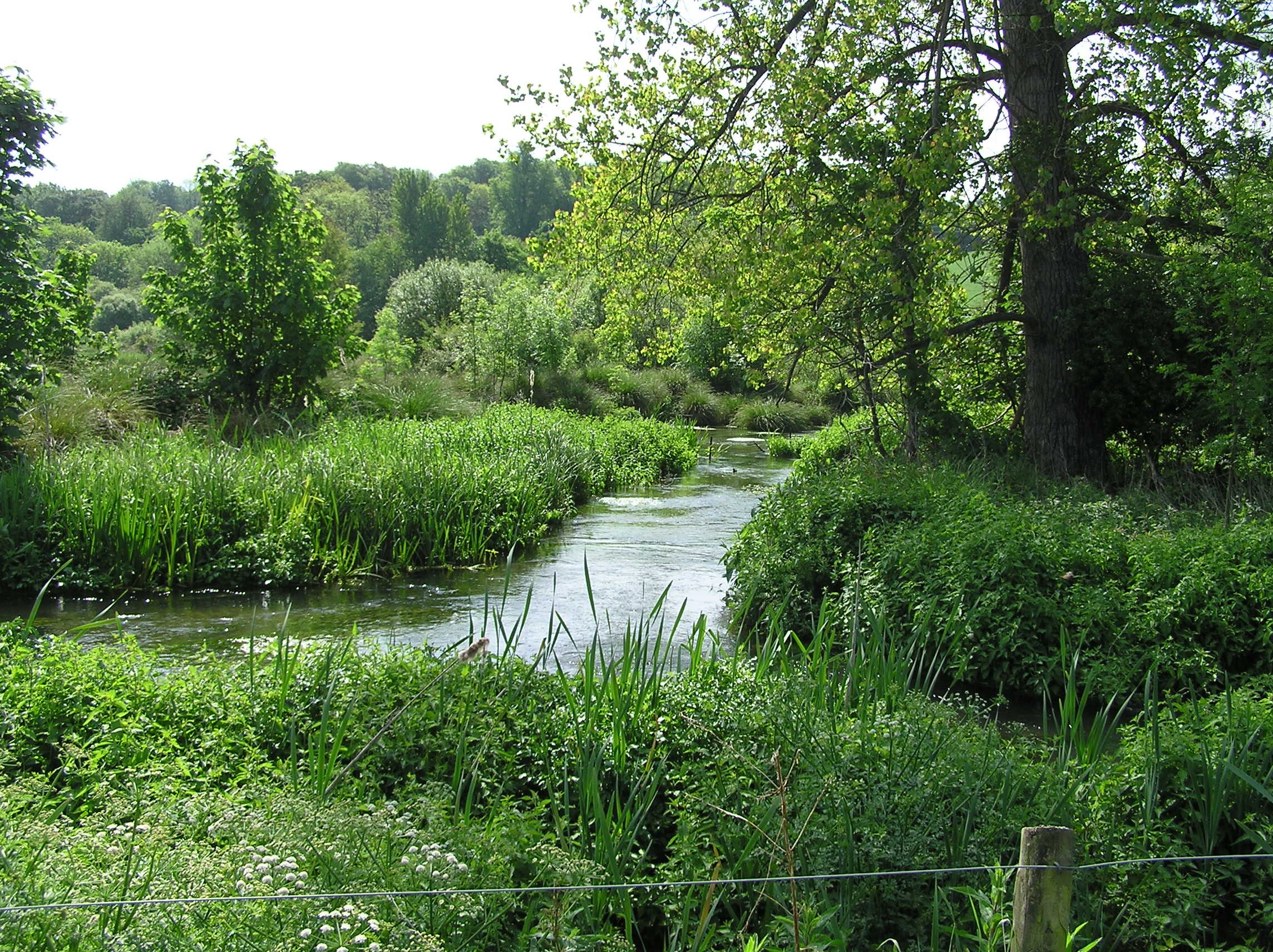
In Spring 2020 Natural England undertook provisional work to update the original UK BAP map of chalk rivers, generated in 2006 by the national Chalk Rivers Habitat Action Plan (HAP) Steering Group (as was). This process involved: 1) a translation of the original BAP map onto the Environment Agency’s detailed Digital Rivers Network (DRN): 2) the addition of named rivers and streams from the 2014 WWF report on the state of chalkstreams; and 3) GIS-based overlay of chalk geology on the DRN to capture headwater chalkstreams too small to be included in the 2014 report. A summary of the work undertaken is provided here.
Stakeholders were given an opportunity to propose further refinements to the provisional map via a facility on the Data Portal. Extensive refinements were made by Charles Rangeley from his travels around the English chalkstream resource. A digital analysis of Lincolnshire chalkstreams conducted by the local partnership was incorporated. Local Environment Agency staff also reviewed the provisional map and made proposals for refinements which were accommodated as far as possible.
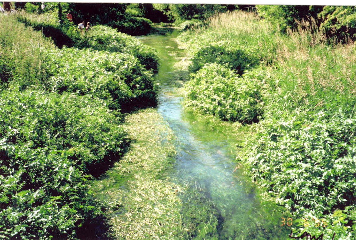
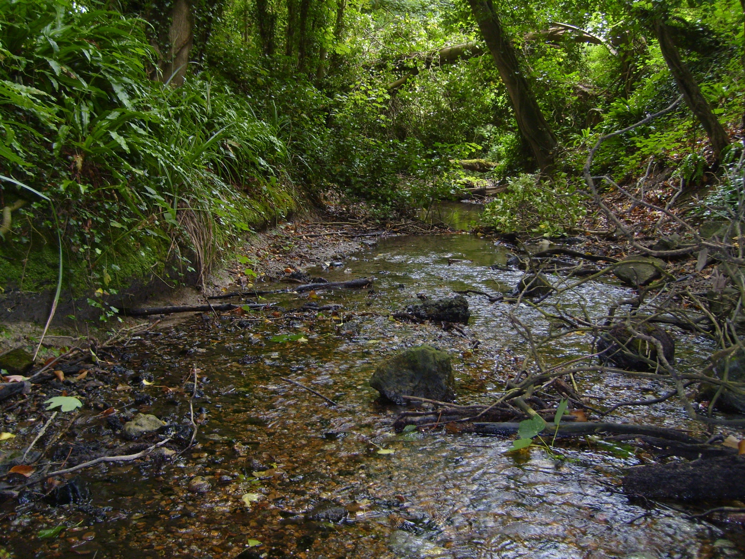
The use of the high-resolution DRN has allowed many smaller chalkstreams to be included on the map but it has also introduced many artificial drains and carriers that should not be included. Large numbers of obvious drains have been deleted during the refinement and checking process but many channels that are probably completely artificial remain in the dataset. Conversely, despite the high resolution of the DRN, many natural winterbourne channels are not included – this has meant that a considerable number of winterbournes proposed for addition by local EA staff as part of this exercise could not be made at the current time.
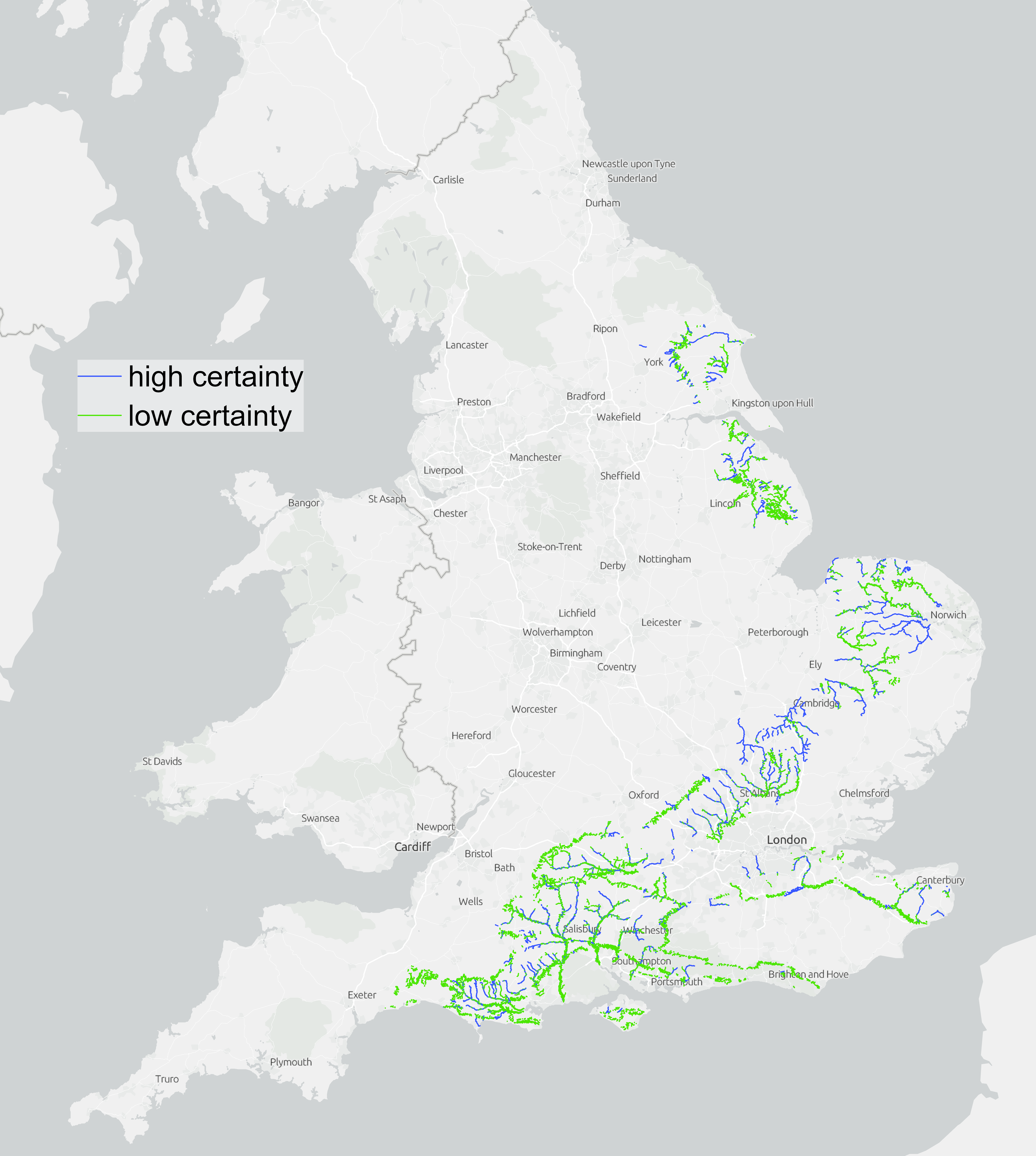
Owing to the uncertainties in the small channel network, the resulting map has been packaged in two components.
- High certainty – These include rivers/streams on the original UK BAP map (as long as they weren’t manually deleted as part of the review process) plus those that have either been name-checked to the list of chalkstreams in the WWF 2014 report or confirmed as chalkstream through the review and checking exercise. The overall effect should be to capture all named chalkstreams in the new Chalkstreams Strategy generated by the CaBA Chalk Stream Restoration Group, plus a range of smaller streams with no recognised name.
- Low certainty – These come from two GIS analyses
- The translation of the original BAP map onto the detailed EA DRN captured many smaller channels, some of which may be genuine natural chalkstream channels but many will be artificial drains. Where they have not been either deleted or confirmed as chalkstreams through the review and checking exercise they are included in this low certainty component.
- Small headwater channels captured by the GIS geological overlay that have not been deleted or confirmed as chalkstreams by the review and checking process are included in this low certainty component. Some of these will be natural chalkstreams, some completely artificial drainage channels, and some channels fed completely by non-chalk water (e.g. from impermeable soils overlaying the chalk).
Together, these two components should be considered to be the fullest possible extent of the chalkstream resource.
Uncertainties in the layer need to be addressed by the way the map is interpreted for different applications. Artificial channels impair the natural functioning of chalkstream systems, either diverting water away from natural channels or draining flushes and fens that should be a priority for restoration as part of broader nature recovery objectives. When the map is used in local planning and decision-making, where possible there should be some verification that particular channels are appropriate to be considered as chalkstreams. For some applications where certainty is required it may be appropriate to restrict the map to Component (1) (high certainty).
Outstanding uncertainties in the map need to be rectified through an on-going local review process. It is envisaged that over the next two years local partnerships should aim to develop a detailed picture of any further refinements they wish to see, using the rationale set out in the . Proposals need to be captured digitally in a way that can easily be quality assured and acted on. A local layer of proposed refinements can be generated on the EA DRN by a partnership which is then subject to national quality assurance to check suitability. The work of the Sussex Wildlife Trust to survey and map headwaters on the South Downs (yet to be properly incorporated onto the national map), and the exercise conducted in Lincolnshire, are good example of the kind of approach needed. Alternatively, we have now reinstate the Data Portal facility for proposing additions/deletions on an interactive map, which may be useful where partnership review is planned.
Thanks are due to Fraser Elliot and Meg Denmark-Melvin in Natural England Data Services for leading the GIS mapping process, Charles Rangeley for his efforts in refining the provisional version of the revised map, Grant McMellin in the Environment Agency for coordinating the EA checking exercise, and the following local Environment Agency staff for providing detailed recommendations for refinement: Tim Sykes, Steve Sheridan, Lesley Saint, Nina Birkby, Mike Dunbar, Tim Jones, Andrew Weath, Amy Prendergast, Laura Jones, Leonor Cortes and Tom Cook.